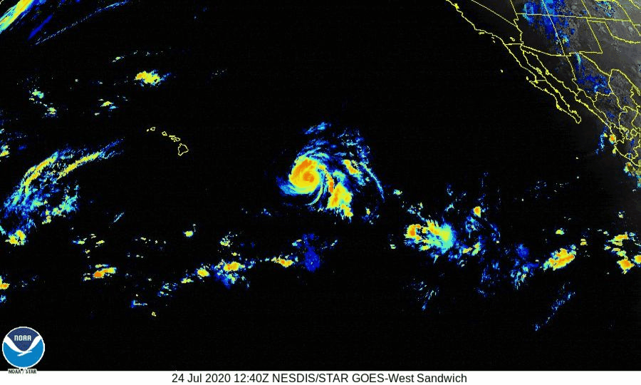
At 5:00 AM HST (1500 UTC), the center of Hurricane Douglas was
located near latitude 16.4 North, longitude 141.9 West. Douglas is
moving toward the west-northwest near 18 mph (30 km/h). This
motion is expected to continue for the next few days with a gradual
decrease in forward speed and a slight turn toward the west.
On the forecast track, Douglas will approach the eastern Hawaiian
Islands late Saturday night or Sunday.

Maximum sustained winds are near 120 mph (195 km/h) with higher
gusts.  Douglas is a category 3 hurricane on the Saffir-Simpson
Hurricane Wind Scale.  Gradual weakening is expected to continue
today through the weekend.  However, Douglas is still forecast to be
near hurricane strength as it approaches the eastern end of
the Hawaiian Island chain late Saturday night or Sunday.

Hurricane-force winds extend outward up to 25 miles (35 km) from the
center and tropical-storm-force winds extend outward up to 115 miles
(185 km).

HAZARDS AFFECTING LAND ---------------------- WIND: Strong winds associated with Douglas are expected to affect portions of the Hawaiian Islands as early as late Saturday night or Sunday, through the day Monday. Tropical Storm or Hurricane Watches will likely be required for portions of the state later today. SURF: Large swells generated by Douglas are expected to begin affecting portions of the Hawaiian Islands on Saturday. These swells are likely to cause life-threatening surf and rip current conditions. Please consult products from your local weather office. RAINFALL: Heavy rainfall associated with Douglas is expected to affect portions of the Hawaiian Islands from late Saturday night through Monday. Total rain accumulations of 6 to 10 inches with isolated maximum totals of 15 inches will be possible, especially across elevated terrain. This rain may result in life-threatening flash flooding and land slides, as well as rapid water level rises on small streams. Key messages for Douglas can be found in the Tropical Cyclone Discussion under AWIPS header HFOTCDCP2 and WMO header WTPA32 PHFO.